From orbit to the ground,
we keep watch over infrastructure.
Drones, satellites and vehicle cameras combined with AI to streamline inspection and surveys of rivers and farmland.
Monitor wide areas
without going on site.
We capture changes in infrastructure and land across wide areas without adding manpower. With multiple “eyes” from orbit to the ground and AI, we support inspection and survey work for local governments and land managers.
Too much ground,
too few people.
- 01Shortage of inspectorsLimited staff cannot cover wide areas
- 02Vast areas to coverLong river corridors and countless parcels make frequent checks impossible
- 03Limits of visual inspectionMissed issues and difficulty prioritizing
- 04Delayed awarenessIt takes too long to notice changes
From space to the ground,
the right eye for every target.
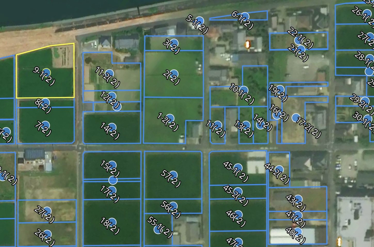
Satellite
Screens every parcel every five days; flags change.
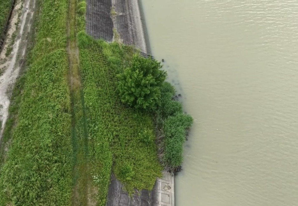
Drone
High-resolution capture of riverbeds, water surfaces and restricted areas not visible from roads, for close-up checks of priority spots.
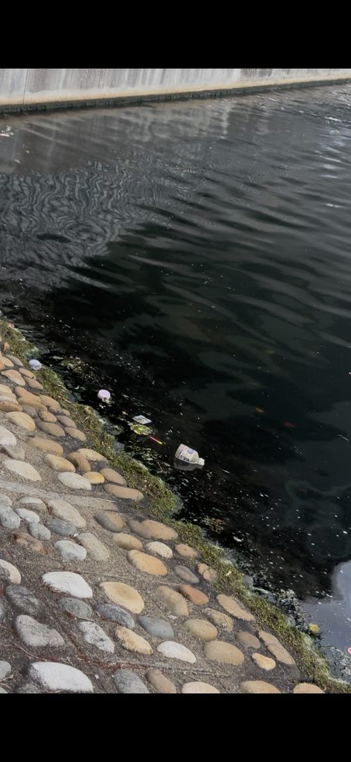
Vehicle camera
Insta360 X5 360° with GPS-synchronised frame geolocation. Roadside capture from vehicles that already drive the route (a low-cost Raspberry Pi variant is planned).
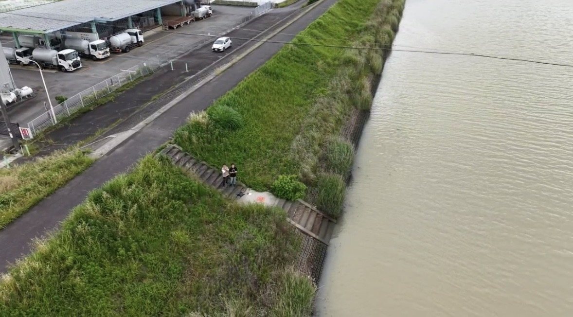
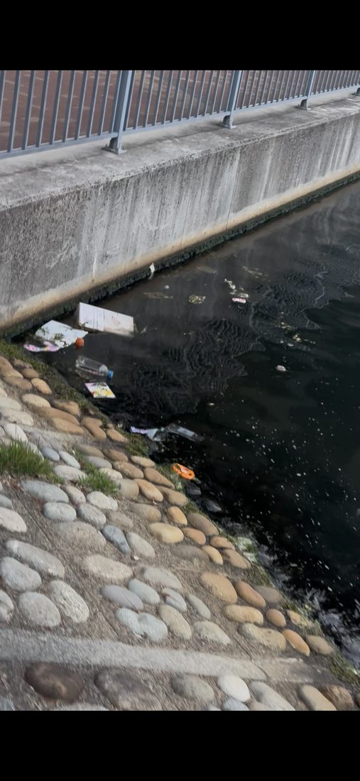
River patrol — Kasen Patrol
Automatic detection of illegal dumping, unauthorized structures and sandbar build-up.
- Extract spots requiring action on riverbeds and water surfaces
- Prioritize on-site checks more efficiently
- For river offices and port authorities
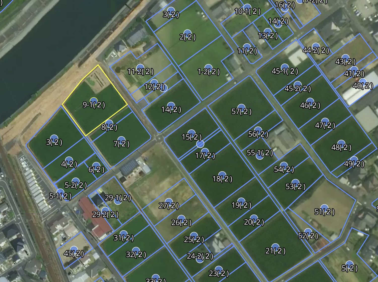
Farmland survey DX
Streamlining farmland condition surveys for property tax assessment.
- Flag parcels that may have changed to residential or other non-agricultural use
- Prioritize on-site surveys
- For municipal property tax divisions
Connecting satellites and UAVs
to the agricultural field.
Discover our Spatial AI platform integrating satellite imagery, UAVs, AI and GIS for agriculture — and our call for field trial partners in Spain and Cyprus.
Capturing change with
map data and AI.
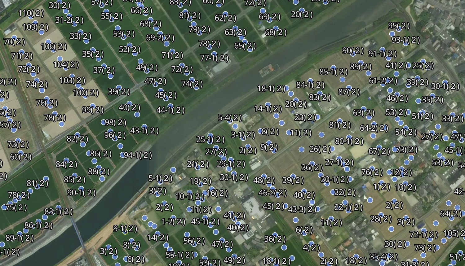
All 12,978 farmland parcels in Nagoya are already in our PostGIS database. A two-stage detection pipeline built on YOLOv8 / RT-DETR / SAHI narrows down priority locations across wide areas.
Clover LLC
- Company
- Clover LLC (クローバー合同会社)
- Representative
- Yusuke Yoshioka, Founder & CEO
- Founded
- February 2022
- Location
- Nagoya, Aichi, Japan
- Business
- Inspection and survey DX for rivers and farmland using multi-sensor data (drone, satellite, vehicle camera) × AI
Start with a scoped pilot.
We work with you from the very first step of defining the challenge.
Contact us →